Weather and heart disease might seem like distant cousins in the sprawling family tree of public health. But in the winding closes of Edinburgh and the bustling barrios of Madrid, weather patterns quietly shape the cardiovascular health of millions—and not always in the same way. The European Heart Journal has repeatedly noted that fluctuating temperatures, heatwaves, and cold snaps don’t affect everyone equally. It’s the interplay between the climate outside and the city around us that determines who is most vulnerable when the thermometer swings.
Weather and Heart Disease: The Urban Connection
Europe’s cities aren’t just concrete and glass; they’re microclimates. In Edinburgh, the legendary haar—a dense, chilly sea fog—can sweep through Leith or Morningside without warning, dropping temperatures and dampening the air. Madrid, in contrast, faces searing summers where shaded side streets are a lifeline. When the World Health Organization assessed the impact of urban heat, the findings were blunt: higher temperatures in cities lead to increased hospital admissions for heart attacks and strokes, especially among older adults.
But the story deepens at the neighbourhood level. In both Edinburgh and Madrid, research from the HHH Project highlights how low-income districts bear a disproportionate burden. In Madrid’s south, for example, CMSc Villaverde has documented how poorer housing stock—often lacking effective insulation or air conditioning—traps residents in stifling heat during summer and biting cold in winter. These extremes can trigger spikes in blood pressure, arrhythmias, and even acute cardiac events. Meanwhile, in Edinburgh’s peripheral estates, poorly heated flats mean a cold front can do more harm than a week of drizzle in the city centre.
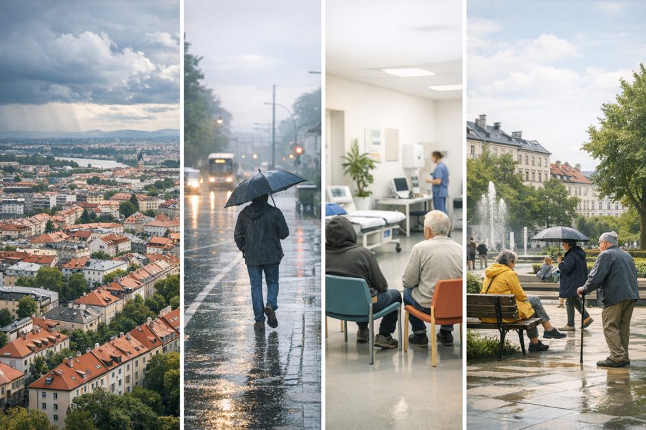
It’s not just the absolute temperature, but the rapid shifts that matter. Sudden drops or rises place extreme stress on the cardiovascular system, especially for those with existing heart conditions. A comparative study of Edinburgh and Madrid showed that neighbourhoods with higher deprivation also have more hospitalisations following extreme weather events—a tangible marker of environmental vulnerability layered atop social disadvantage.
Neighbourhood Environments Amplify Weather Risks
Why do some communities weather the storm better than others? Urban design, infrastructure, and social cohesion all play a role. In Madrid, tree-lined avenues in wealthier barrios offer shade and reduce the urban heat island effect. By contrast, southside neighbourhoods with sparse greenery see higher surface temperatures, as confirmed by satellite data analysed by Instituto de Salud Carlos III. The result? More heat stress, more cardiovascular emergencies.
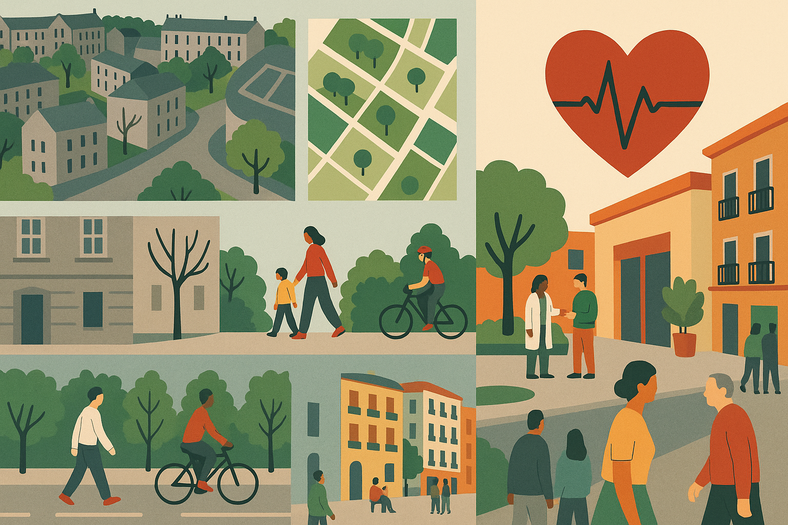
Edinburgh’s story is different, but the outcomes echo Madrid’s. The city’s historic tenements are often better insulated, while newer social housing—or older, poorly maintained council flats—can be cold and draughty. The Scottish Public Health Observatory found that residents in these colder homes report higher rates of hypertension, a key precursor to heart disease. And let’s not forget walkability: neighbourhoods that encourage walking and cycling help buffer residents from the cardiovascular impacts of both hot and cold spells, a point explored further in this analysis of urban walkability and heart health.
Noise and air pollution, too, are weather-sensitive. On still, cold days, pollutants linger, compounding the stress on vulnerable hearts—a phenomenon documented in both cities. The European Environment Agency warns that during heatwaves, ozone and particulate matter levels soar, pushing up emergency admissions for heart failure. The effect is magnified in neighbourhoods near major roads or industrial zones, where exposure is already high. For a deeper dive into this, see the discussion of air pollution and cardiovascular risk in urban Spain and Scotland.
Social Determinants: Beyond the Weather Map
Weather doesn’t hit a blank slate. It lands on a city’s pre-existing social geography. In both Edinburgh and Madrid, low-income neighbourhoods face a triple threat: inadequate housing, limited access to cooling or heating, and higher baseline rates of cardiovascular disease. The HHH Project’s mapping of health inequalities shows that these areas overlap strikingly with zones of higher heart disease mortality.
Diet plays a role, too. During extreme weather, the ability to access fresh, healthy food can be compromised—think icy pavements in Edinburgh winters or Madrid’s sweltering afternoons that keep people indoors and away from local markets. Recent work on food deserts in European cities underscores that neighbourhoods lacking affordable, nutritious food options see higher rates of obesity and hypertension, amplifying weather-related cardiovascular risks.
Social isolation, which spikes during harsh weather when people are less likely to leave home, worsens outcomes for those with existing heart disease. Community networks offer a buffer—neighbours checking in, local organisations distributing fans or blankets. Madrid’s community health centres, especially in the south, have piloted outreach during heatwaves with measurable success, reducing hospital admissions among the most vulnerable.
And then there’s public transport. When services are robust and affordable, residents can access cooler (or warmer) spaces, healthcare, and social contacts more easily. The link between public transport access and heart health is especially important in cities facing more frequent weather extremes, as climate change accelerates.
How Public Health Research Unpacks the Weather–CVD Link
Understanding how weather and heart disease connect in urban Europe takes more than counting hospital beds and thermometers. Researchers use a blend of epidemiological methods, geospatial mapping, and community-based participatory research to reveal the hidden patterns. In Edinburgh, the use of high-resolution weather and hospital data lets teams identify which neighbourhoods see spikes in heart attacks after a cold snap. In Madrid, participatory methods like Photovoice empower residents to document the lived effects of heatwaves on their health, informing more targeted interventions.
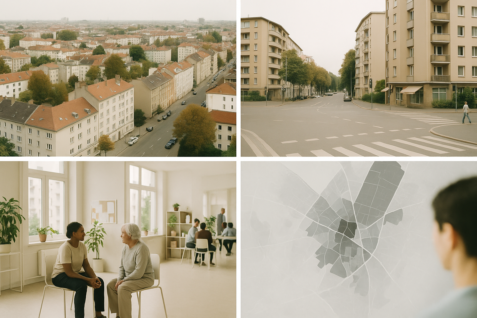
Mapping is crucial. The HHH Project’s cartographic work overlays CVD incidence with weather exposure, housing quality, and social deprivation, painting a detailed picture of urban health vulnerability. These tools help move beyond averages—revealing how, even within a single city, the risk posed by a 35°C day or a sudden frost can vary dramatically from street to street. For a look at how cartography makes these invisible patterns visible, the article on mapping health inequality offers practical examples from both anchor cities.
Policy responses have to be as local as the risks. That means not just citywide heat plans, but targeted support for the blocks and barrios most exposed. It means improving housing insulation in Edinburgh’s coldest estates and expanding green space in Madrid’s hottest districts. It means ensuring that emergency warning systems reach those who need them most—often, the elderly, the isolated, and the poor.
Conclusion: Weather, Place, and Inequality
Weather is a fact of life in Europe’s cities, but its health consequences are far from evenly distributed. The relationship between weather and heart disease is filtered through the lens of neighbourhood, infrastructure, and longstanding inequality. Edinburgh and Madrid, with their contrasting climates and urban forms, reveal how place-based approaches can uncover risks and chart paths to healthier, more resilient cities. As climate change intensifies, these lessons will only become more urgent, making the intersection of weather, urban living, and cardiovascular health an enduring frontier for research—and action.